
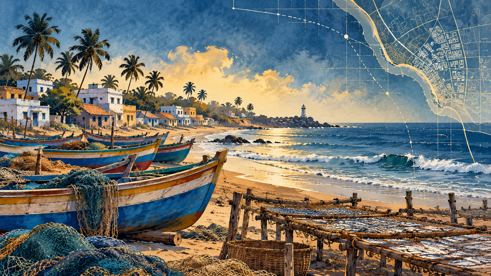
Fishing communities in Karaikal, Puducherry, have documented shared coastal spaces used to dry fish, park boats and repair nets. Mongabay India reports that these everyday places can disappear from official coastal zoning maps drawn at broad scale, making it harder for residents to take part in decisions about their shoreline.
This is a brief summary of reporting by Shreya Raman for Mongabay India. Read the full visual report at Mongabay India.
